Software design and implementation — from the real business need to software that runs and can evolve over time.
From code to real usage: cognitive load, ease of adoption, clear journeys, human–machine interaction — with deliberate attention to visual identity, UI/GUI consistency, and readable layouts so end users and stakeholders stay aligned on the same problems — including GIS and geospatial stacks in production — because complex systems rest on simple, organized building blocks.
Selected work
Connected devices, mobility, and open-source proof first; last card: an innovation in orchestration and workflows — active work in progress at Coexya (MUI).
IoT platform — Rustiq IOT
IoT platform: long-running battery prototypes, custom board, supervision — from requirements to field-ready delivery.
MAAS architecture — metropolitan scale
Metropolitan MAAS architecture: streamlined gateway, audit, and event hub on Java / Go / Kafka.
Split-flap display — open source
Open source driven split-flap: full hardware + software chain, from control to the physical display.
Innovation (in progress) — business orchestration & VM — Coexya (MUI)
Work in progress: innovating on a dedicated language, VM, and workflows to orchestrate payments, data, and rules — aiming for a lighter path than heavyweight BPMN factories (e.g. Camunda).
Our Services

Maintainable software architecture
Map, slice, decide: useful views (diagrams, screen flows, lightweight prototypes), module boundaries, and choices that survive the first release — tying engineering, visual guidelines, and UI into a shared language for users, business roles, and stakeholders.

From prototype to industrial embedded
Firmware, hardware constraints, industrial or field conditions: connected devices built for a long service life.
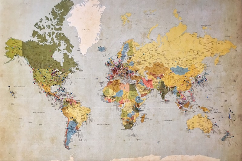
GIS — geographic information systems
End-to-end GIS expertise: cadastre, web mapping, spatial databases and services at scale — data architecture, business integration, and long-running operations (models, operational editing, OpenLayers where relevant) — symbology, legends, and map UX that stay legible for both end users and stakeholders (decision-makers, domain experts, engineering).
Areas of Expertise
Industries
Industrial Automation
Energy & Utilities
Geomatics & GIS (deep practice)
IoT & Embedded Systems

Technical Background
- Enterprise, SMB, public & private sector
- Energy, transport, geomatics & GIS, industry, services, electronics
- Rust, Java, Ada, Python, C/C++
- Docker, Kubernetes, cloud, Nix, GitHub
- PostgreSQL, Oracle, SQL Server, Elastic, Solr, Cassandra…
- ArcGIS, QGIS
Open Source Contributions

Active contributor to open source projects in mechanical music, IoT, and embedded systems.
Start a collaboration

Something to frame, a GIS or spatial-data angle, UI/visual guidelines, or a technical trade-off to settle? Describe your situation — a straight answer, not a marketing funnel.